


The following ArcGIS Data Appliance—World Collection 2D map cache, 3D globe cache, and task services are available for you to publish and use with your ArcGIS applications. Click the service name to view a full service description including copyright/attribution information.
The services are grouped into the following categories:
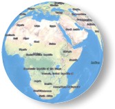
| World Imagery | World Street Map | World Physical Map | World Shaded Relief |
|
|
|
|
|
| This map presents satellite imagery for the world. | This map presents a street map with highway-level data for the world. | This map presents the Natural Earth physical map for the world. | This map portrays surface elevation as shaded relief. It is intended for use as a basemap layer to add shaded relief to other GIS maps. |
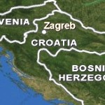
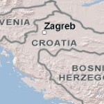
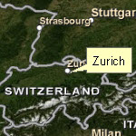
| World Boundaries and Places | World Boundaries and Places Alternate | World Transportation |
|
|

|
| This map presents country boundaries, first order (State/Province) internal administrative boundaries for most countries, second order administrative boundaries for the United States (counties) and some countries in Europe, and place names for the world. | This map presents country boundaries, first order (State/Province) internal administrative boundaries for most countries, second order administrative boundaries for the United States (counties) and some countries in Europe, and place names for the world. | This map presents transportation data, including highways, roads, railroads, and airports for the world. This map should be overlaid on imagery basemaps. |
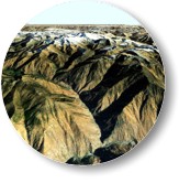
| World Elevation | USA Elevation | World Place Labels |
|

|
|
| This globe presents 90m and 1km elevation data for the world. This globe is intended for 3D visualization of terrain. | This globe presents 30m elevation data for the contiguous United States. This service is intended for 3D visualization of terrain. | This globe presents vector labels for country, state/province, county or equivalent, and city place names for the world. This globe is intended for 3D display of place names with billboarded and rotating text. |
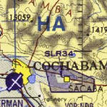
| DeLorme World Basemap | World Navigation Charts |

|
|
| DeLorme’s topographic basemap is a seamless global data set that portrays transportation, hydrography, jurisdiction boundaries, and major geographic features. | This map presents topographic data with aeronautical information overlaid, including over 200 Operational Navigation Charts (ONCs) across the world. |
| World Places Locator |
|
| Geocode world places including countries, states and provinces, administrative areas, cities, landmarks, water bodies, and more. |