
The following ArcGIS Data Appliance—World Imagery Collection 2D map cache services are available for you to publish and use with your ArcGIS applications. Click the service name to view a full service description including copyright/attribution information.
The services are grouped into the following category:
| World Imagery | USA Topographic Maps |

|

|
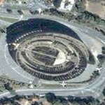
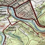
| This map includes low-resolution imagery for the world and high-resolution imagery for the United States and other areas around the world. | This map presents land cover imagery for the world and detailed topographic maps for the United States at various scales. |