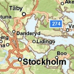
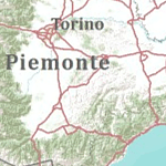
The following ArcGIS Data Appliance—Basemap Collection map cache and task services are available for you to publish and use with your ArcGIS applications. Click the service name to view a full service description including copyright/attribution information.
The services are grouped into the following categories:
| World Street Map | World Topographic Map |

|

|
| This map presents a street map with highway-level data for the world and street-level data for a number of countries. | This map includes administrative boundaries, cities, water features, physiographic features, parks, landmarks, highways, roads, railways, and airports. |
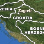
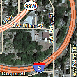
| World Boundaries and Places | World Transportation |
|
|
| This map presents boundaries and place names for the world. | This map presents transportation data, including highways, roads, railroads, and airports for the world. This map should be overlaid on imagery basemaps. |
| European Address Locator | North American Address Locator | European Routing | North American Routing |
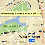
|
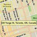
|
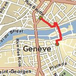
|
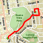
|
| Geocode street addresses in Europe including street address, street name, city, and postal code. | Geocode street addresses in the United States and Canada including street address, ZIP/postal code, city/state/province, and more. | This Network Analyst service enables you to perform point-to-point and optimized routing in Europe. | This Network Analyst service enables you to perform point-to-point and optimized routing in the United States and Canada. |
NOTE: The address locator services are only available if you purchased the geocoding option. The routing services are only available if you purchased the routing option.